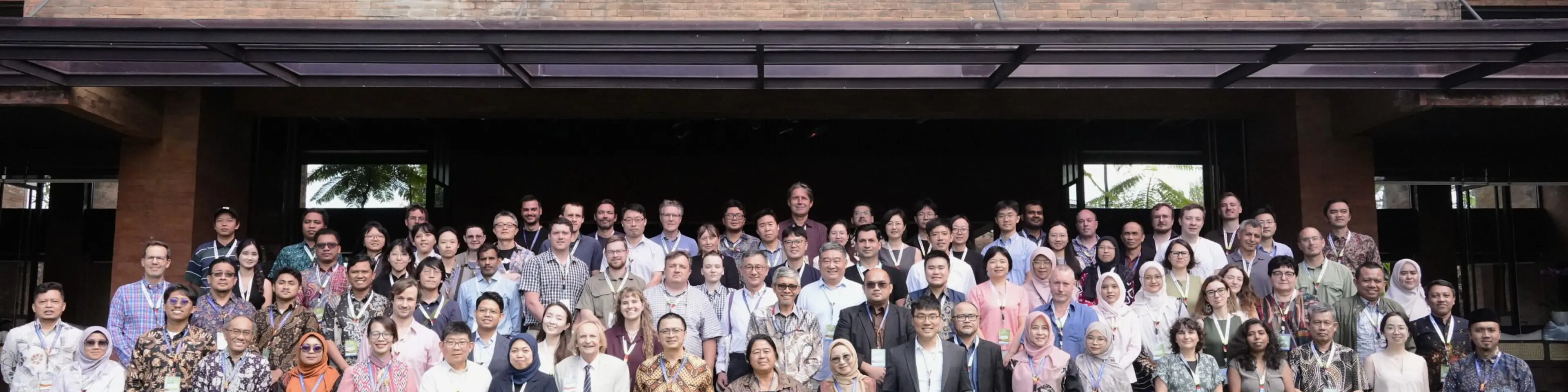


During 15–18 September 2026, researchers in soil science, geostatistics, machine learning, and soil data analytics gathered in Ubud, Bali, for Pedometrics 2026.
Pedometrics is a flagship conference of the IUSS Pedometrics Commission, hosted by Universitas Gadjah Mada (UGM). The conference theme focused on "Pedometrics in Climate Change Research: Intelligence, Integration, and Innovation in Soil Science”, and highlighted the growing role of quantitative soil science in addressing climate change, specifically focusing on digital soil mapping, carbon monitoring, climate resilience, and proximal soil sensing.
Pedometrics is a term coined by Professor Alex McBratney that combines the words pedos (soil) and metron (measurement), and refers to applying quantitative and statistical methods to soil properties, functions, and spatial distribution. ISRIC has played a leading role in developing and applying these approaches through its global soil information products and services.
The conference addressed the IUSS Commission's "10 Challenges for the Future of Pedometrics," and progress in deep-soil mapping, uncertainty assessment, and interpretability of machine-learning methods.
ISRIC contributions
Five ISRIC researchers, shared their insights and expertise on seven topics at the conference:
Abdul-Wahab Mossa presented: "Integrating spatial soil information with process-based models for nutrient management;” and a poster on site-specific nutrient management in sub-Saharan Africa.
Divya Pandey presented: “Advancing FAIR and open soil information through WoSIS.”
Gerard Heuvelink, with Alexandre Wadoux and the James Cook University delivered a pre-conference training on soil sampling theory and geostatistics for soil organic carbon change with quantified uncertainty. Prof. Heuvelink also presented: “Incorporating Soil Map Uncertainty and Farmer Risk Profiles in Agronomic Decision Making.”
Laura Poggio chaired the plenary on Topics 1–2: process-data modelling for climate-driven soil change and mapping soil functions and ecosystem services. Ms. Poggio also presented: “Fitness-for-use of global and continental digital soil mapping products;” and “The Witch Trials: QRF, tabPFN, a GAM and a bru.”
María Ruiperez Gonzalez presented: "From untidy soil data to digital soil maps: A pipeline view."
Together, these contributions reflect a theme that runs through ISRIC's work: soil information is only useful when its limitations are characterised. Whether information and data concern uncertainty in continental carbon stock estimates, map resolution, or soil observations from WoSIS, the underlying question is the same — how, where, and for whom can soil information products be legitimately used. Context is imperative.
The conference concluded on 18 September with a field trip organised around the theme, “From Grounded to Grid: Digitalizing Soil Landscape of Bali.”
More information: https://pedometrics2026.org