/media/d5rhqxoz/s_mantel_isric_img_4444_0.jpg

TAPESTRIES

Completed

Africa

Information products & services for SLM

/media/v4zpumti/stephan_mantel.jpg

Stephan Mantel,

Senior sustainable land management expert

Project start
2019
Project end
2023

Tracking Agricultural Performance and the Environment: Soil and Terrain Rehabilitation for Integrated Ecosystem Services

Background

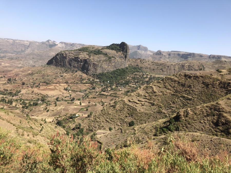
The TAPESTRIES project (Tracking Agricultural Performance and the Environment: Soil and Terrain Rehabilitation for Integrated Ecosystem Services) was a joint initiative from Wageningen University (Farming Systems Ecology Group) and GIZ. The project developed a proto-type for a digital planning and facilitation tool (iLandLab) which could support evidence-based stakeholder engagement during the preparation of watershed/landscape development plans in Ethiopia. Furthermore, the demand-driven project developed a tool for monitoring performance and sustainability of rehabilitated watersheds in different parts of Ethiopia; the Design and Impact Assessment Dashboard (DIAD).

Objectives

The Tapestries project aimed at facilitation of the planning, decision making, monitoring and assessment of the impact of sustainable land management at multiple scales.

Activities

ISRIC tasks within the Tapestries project were to contribute to the assessment of conservation and degradation as Key Performance Indicators for sustainable land management and included the following activities:

  • Parametrize WOCAT Sustainable Land Management (SLM) technologies that can be fed into the FARMDesign model

  • Review and compile key erosion model, crop- and land management parameters for the FarmDesign model

  • Select practices that may be discussed in the participatory SLM planning

Deliverables

  • Collation of Sustainable Land Management (SLM) practices from the WOCAT database and other sources relevant for the Ethiopian context in 'use choice' categories. 

  • Documentation and description with respective literature references, parameters of the Revised Universal Soil Loss Equation (RUSLE) and crop and land management parameters of as input to the construction of an erosion component for the FarmDESIGN model

  • Technical report

Share