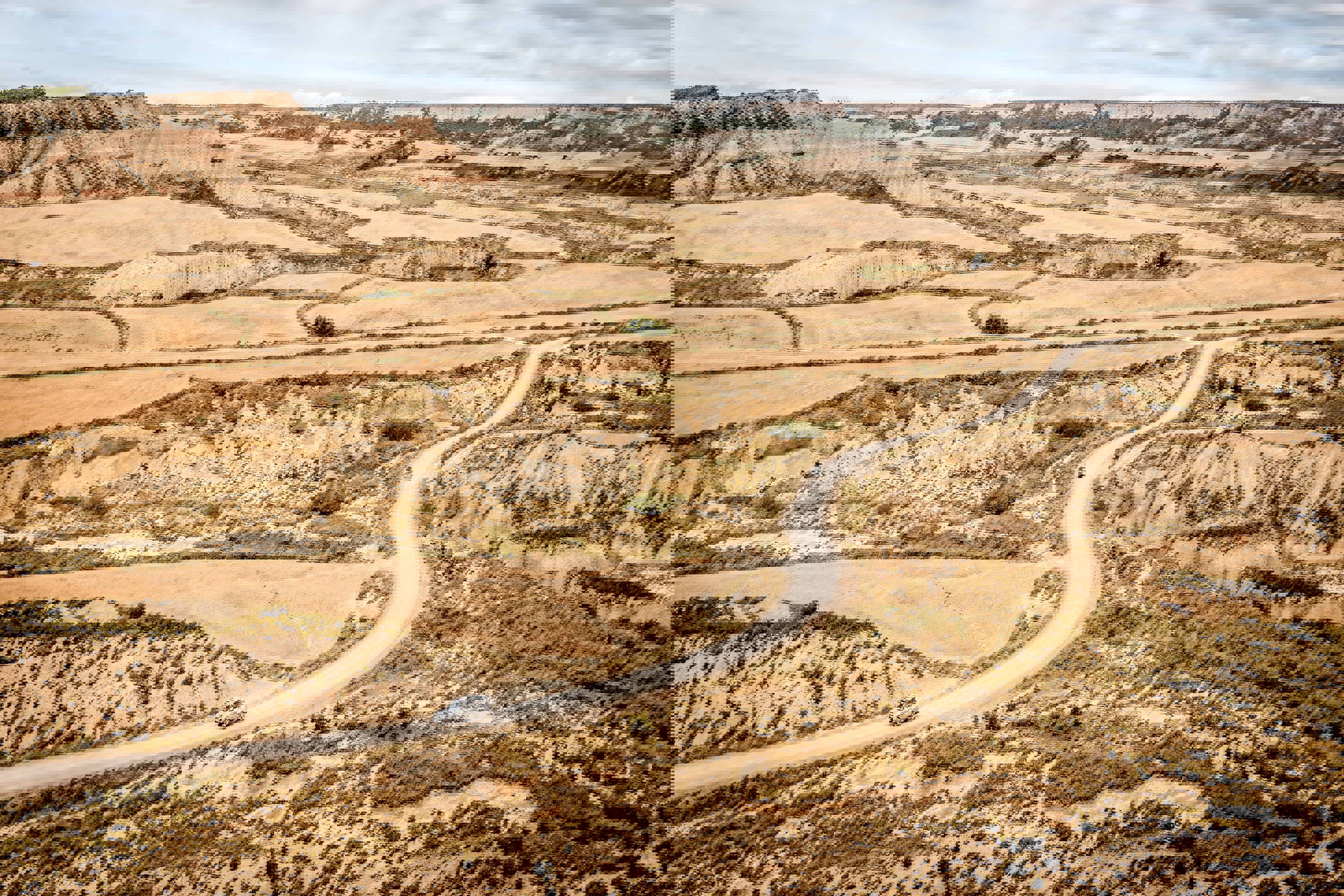

Soil erosion is one of the most severe threats to soil health in Europe . It reduces soil fertility, lowers agricultural productivity, increases flood and sedimentation risks, and affects water and air quality. Despite its importance, Europe currently lacks a harmonised and dynamic system to monitor soil erosion in space and time. Most existing assessments are based on static maps and long-term averages, which do not capture how erosion changes with weather extremes, land management practices, or climate change.
EUROSION aims to change this by developing a pan-European dynamic soil erosion monitoring and modelling system. The project brings together field monitoring, Earth observation, process-based erosion models, and digital platforms to provide up-to-date and comparable information on soil erosion by water, wind and tillage across Europe.
Within EUROSION, ISRIC – World Soil Information provides and integrates European soil data and dedicated soil property maps . ISRIC ensures that soil information is harmonised, scalable, and suitable for use in erosion models and digital platforms, through its expertise in soil data infrastructures and global soil mapping.