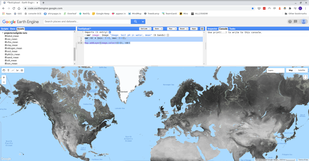

SoilGrids, a global soil properties maps, is now available to use via Google Earth Engine. SoilGrids is a project of ISRIC – World Soil Information which aims to provide a globally consistent, data-driven system that predicts soil properties and classes using global covariates and globally fitted models with a digital soil mapping approach based on Quantile Random Forest. The upload of selected SoilGrids layers to Google Earth Engine (GEE) datasets was completed on Tuesday, October 20.
More information on how to access the SoilGrids assets is available here. SoilGrids provides maps for ten different soil properties at six different depths. The use of Quantile Random Forest allowed the spatial assessment of the uncertainty. Four different predictions were obtained from the predictive distribution at each pixel of the map: mean, median, the 5th percentile, and the 95th percentile, following the international specification of GlobalSoilMap project.