
A newly released paper, SoilGrids 2.0: producing soil information for the globe with quantified spatial uncertainty, provides a peer-reviewed scientific publication describing the production of SoilGrids, ISRIC’s flagship system for global digital soil mapping.
SoilGrids is comprised of quality-assessed global maps of soil properties. In the latest version of SoilsGrids, released in 2020, ISRIC introduced many methodological improvements such as: an improved set of point observations with more stringent quality assessment as well as improved cross-validation and covariate selection methods. SoilGrids also gained spatially explicit uncertainty quantification.
"SoilGrids presents global soil maps that can underpin many environmental applications at global and large regional scales which are needed to achieve the Sustainable Development Goals." Rik van den Bosch, ISRIC director
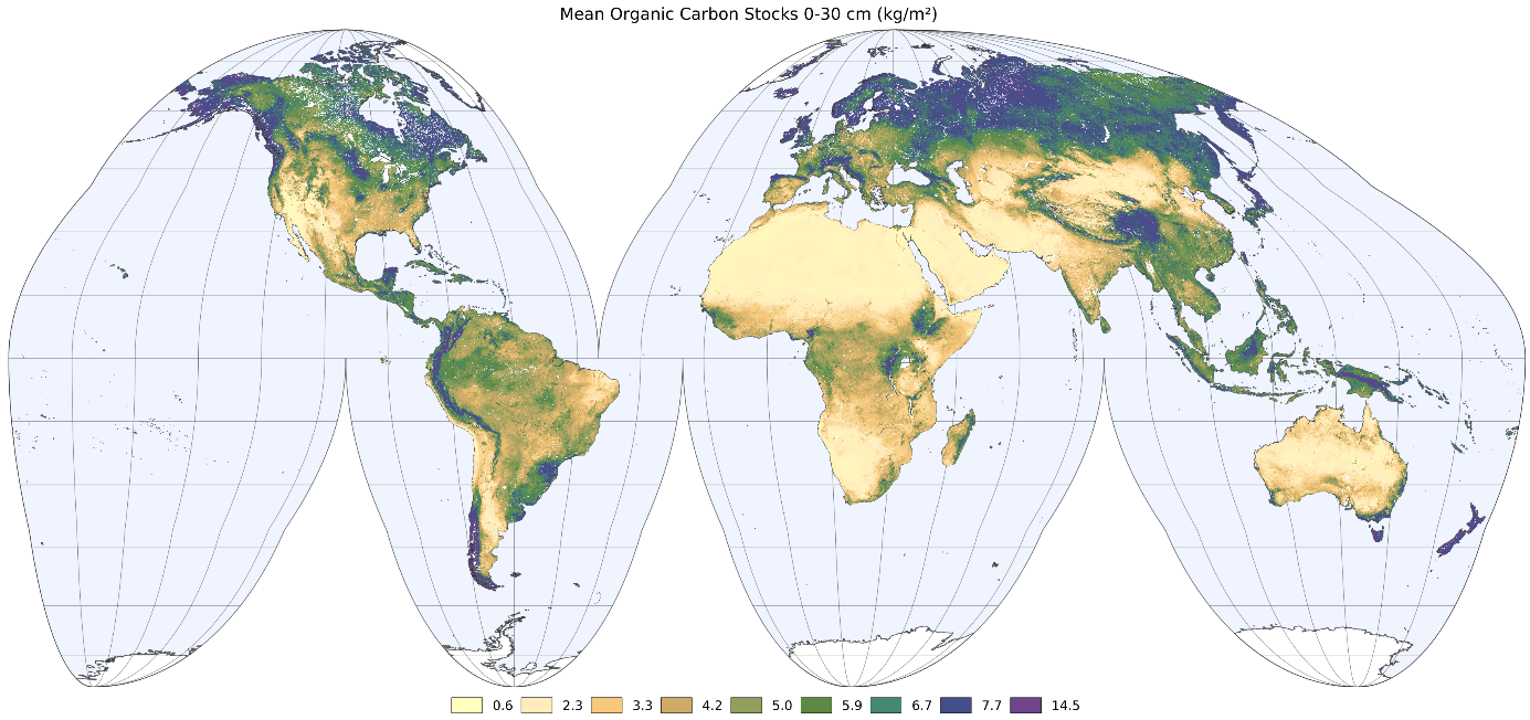
In this research paper published in the journal SOIL, SoilGrids 2.0 maps received quantitative and qualitative scientific evaluation for soil organic carbon content, total nitrogen, coarse fragments, pH(water), cation exchange capacity, bulk density and texture fractions at six standard depths (up to 200 cm). SoilGrids includes spatial uncertainty information with the 0.05 and 0.95 quantiles for the different soil properties. The qualitative evaluation of SoilGrids showed broadscale patterns are well reproduced.