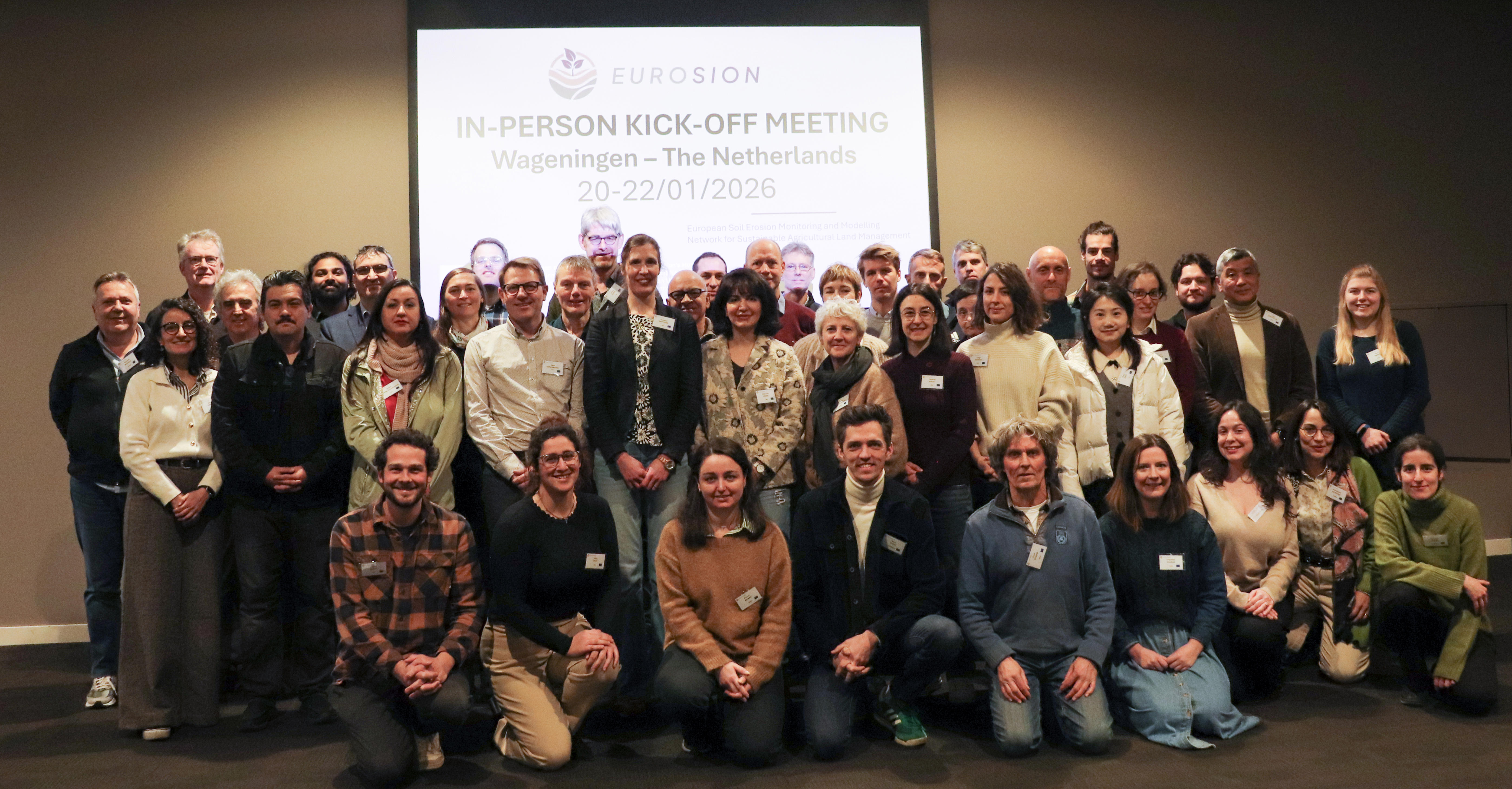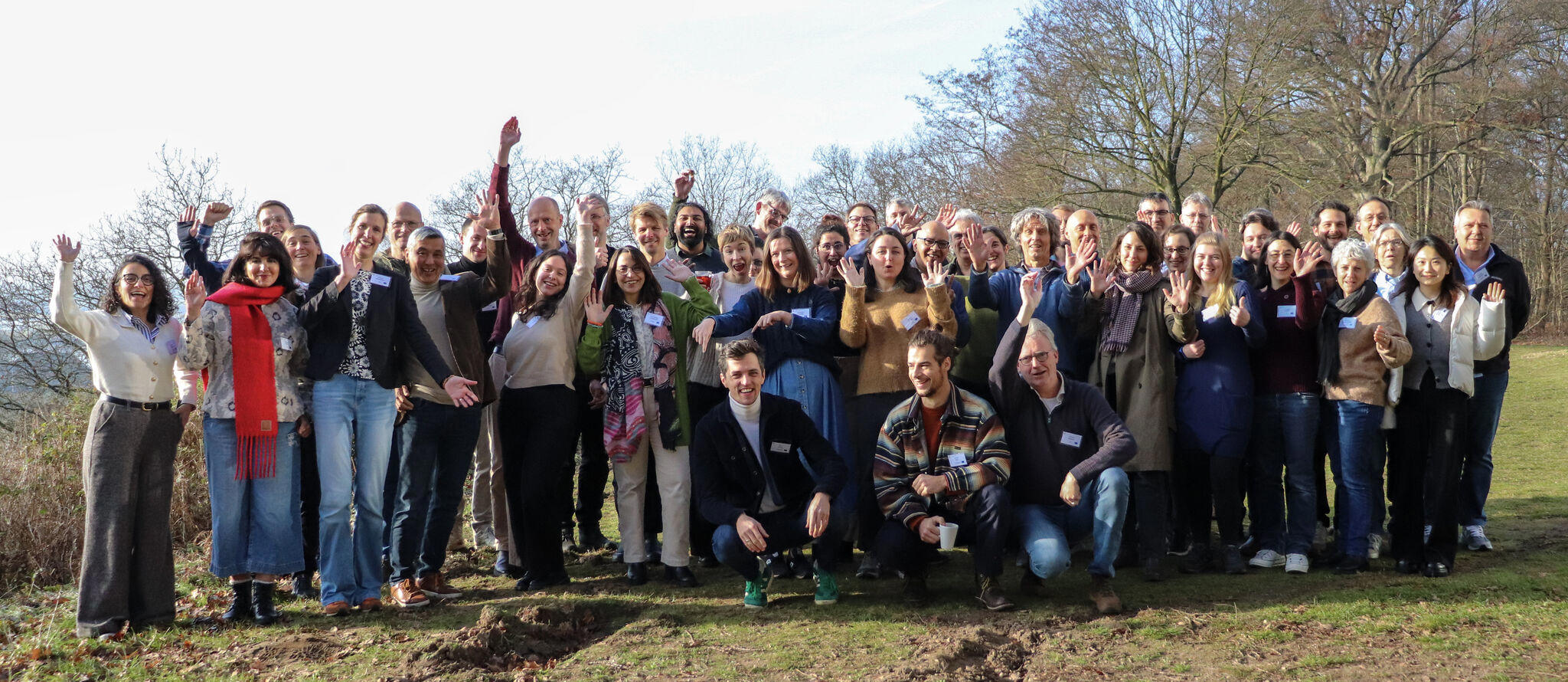

From 20 to 22 January 2026, the EUROSION project (European Soil Erosion Monitoring and Modelling Network for Sustainable Agricultural Land Management) was officially launched during its kick-off meeting in Wageningen, the Netherlands. Partners from across Europe gathered to start a five-year collaboration aimed at developing a dynamic, pan-European system for monitoring and modelling soil erosion.
EUROSION is a Horizon Europe project that integrates field monitoring, Earth observation, process-based erosion models and digital platforms to improve understanding of soil erosion caused by water, wind and tillage. By delivering harmonised, up-to-date and comparable soil erosion information, the project will support evidence-based soil conservation, sustainable land management and the development of European policies.
During the kick-off meeting, participants discussed the project’s overall objectives, work package activities and how different expertise will be combined to build a European soil erosion monitoring network and a future dynamic European soil erosion monitoring platform. Sessions focused on monitoring networks, harmonised measurement methods, modelling frameworks, data infrastructures and policy relevance. The International Soil Reference and Information Centre (ISRIC) supports EUROSION by contributing to the harmonisation, preparation and integration of soil datasets at European scale. Drawing on its expertise in soil data infrastructures, spatial soil information and modelling-ready datasets, ISRIC helps to ensure that soil information used in erosion monitoring and modelling is consistent and interoperable.