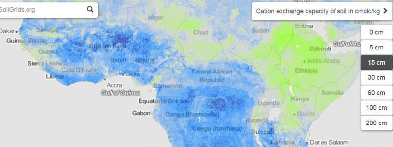
The Africa Soil Information Service (AfSIS) aims to fill a major gap in soil spatial information in Africa. To this end new soil data were collected at over 9,000 locations from 60 sentinel sites in Africa and combined with collated and harmonized soil legacy data from over 18,000 locations in Africa. The resulting database continues to grow and is the main input to digital soil mapping activities. Digital soil mapping combines information from soil point data with high-resolution gridded environmental explanatory variables using geostatistical methods. The AfSIS project prepared 3D maps of a great variety of soil properties for the entire African continent at spatial resolutions up to 250 m.
The digital soil maps for Africa provide important information to support smallholder farmers to increase their productivity and work towards more sustainable agricultural practices. AfSIS is engaged in these agronomic activities too, and executes these in collaboration with governmental and non-governmental organizations, in particular in Ethiopia, Ghana, Nigeria and Tanzania. Capacity building is achieved through eLearning support, in-country research and software application trainings.
AfSIS is funded by the Bill and Melinda Gates Foundation and is supported by close scientific, operational and implementation partnerships with the respective national governments. Main contributors to AfSIS achievements are the Earth Institute of Columbia University, the World Agro-Forestry Centre (ICRAF), Rothamsted Research and ISRIC — World Soil Information.
Learn more about ISRIC's AfSIS project activities on the following topics:


