With partners ISRIC is carrying out a project in Namibia that aims to develop baseline maps of land degradation neutrality indicators, notably soil organic carbon stock. In addition to mapping, the project contains a strong capacity building element. During several training courses and workshops local technical experts will be trained in (spatial) methods to develop LDN indicator baseline maps. The project is implemented in collaboration with the International Centre for Tropical Agriculture (CIAT).
Background
The United Nations (UN) have recognized the loss of (agricultural) land as result of unsustainable land management practices, drought and desertification as a major threat to sustainable development and the fight against poverty. This concern is reflected in UN Sustainable Development Goal (SDG) 15 that urges countries to protect, restore and promote sustainable use of terrestrial ecosystems, sustainably manage forests, combat desertification, and halt and reverse land degradation and halt biodiversity loss. SDG target 15.3 aims to combat desertification, restore degraded land and soil, including land affected by desertification, drought and floods, and strive to achieve a land degradation-neutral world.
The United Nations Convention to Combat Desertification (UNCCD) endorsed SDG Target 15.3 and the concept of land degradation neutrality (LDN), and established a LDN Target Setting Programme. To monitor and report on SDG Target 15.3, three indicators were identified: i) land cover and land cover change, ii) land productivity, iii) carbon stocks above and below ground.
Namibia was among the 14 pioneering countries that participated in the LDN pilot project in 2014/15, implementing the LDN target setting approach. One of the initial steps towards LDN targets is to define baselines of LDN indicators.
Objectives
The Otjozondjupa Region in Namibia serves as a pilot region for LDN target setting at national level. Experiences gained in the Otjozondjupa region will be used to implement LDN target setting in other regions in Namibia during the development of regional land use plans.
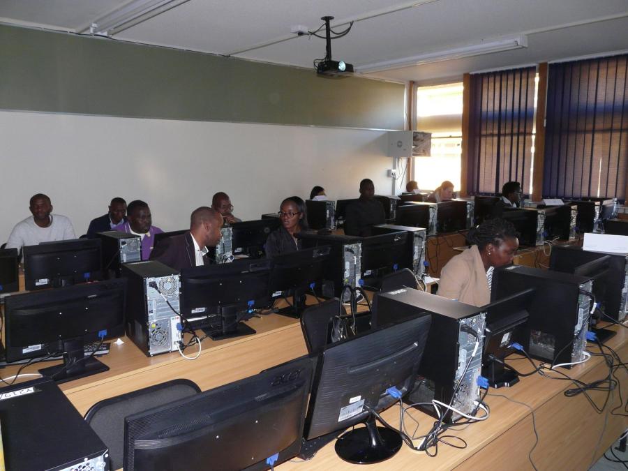
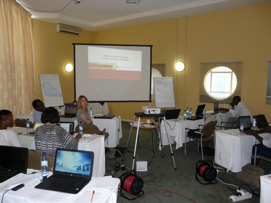
The aim of the first phase of this project is to set baselines for the land degradation indicators for Otjozondjupa. ISRIC will develop a map of soil organic carbon stock for the 0-30 cm soil layer from a set of 200 soil samples that were collected in Otjozondjupa in 2016. CIAT will develop baselines for the other two LDN indicators. In addition, local technical experts will be trained in the methods used to develop maps of the LDN indicators during a one-week training course.
In the second phase of this project a more intensive training course will be organized. After this course local technical experts will develop draft LDN baselines for the Omusati Region. During an ensuing workshop the draft products will be reviewed and the local experts guided towards final products.